Suche
Anzeige der Dokumente 311-320 von 933
Effect of iron and nanolites on Raman spectra of volcanic glasses: A reassessment of existing strategies to estimate the water content
(
- Chemical Geology
, 2017)
The effect of iron content and iron nanolites on Raman spectra of hydrous geologically-relevant glasses is presented. Current procedures to estimate the water content using Raman spectra were tested to explore potential ...
Quantitative assessment of carbon sequestration reduction induced by disturbances in temperate Eurasian steppe
Chen, Yizhao; Ju, Weimin; Groisman, Pavel; Li, Jianlong; Propastin, Pavel; Xu, Xia; Zhou, Wei;  (
(
- Environmental Research Letters
, 2017)
(
The temperate Eurasian steppe (TES) is a region where various environmental, social, and
economic stresses converge. Multiple types of disturbance exist widely across the landscape, and
heavily influence carbon cycling ...
Geologische Exkursion Südost-Schweden
Vollbrecht, Axel; (Universitätsverlag Göttingen, Göttingen, 2019)
(Universitätsverlag Göttingen, Göttingen, 2019)
Das breite inhaltliche Spektrum der vorgestellten Region auf dem Kraton Baltica (Präkambrisches Grundgebirge, Deckgebirge, Deformationszonen, Quartärgeologie) eignet sich sehr gut für eine allgemeingeologische Exkursion ...
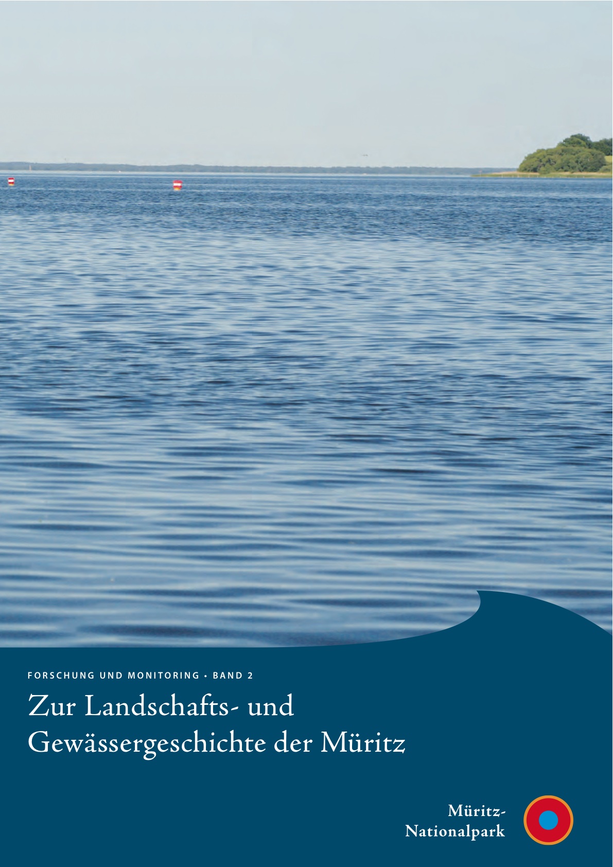
Zur Landschafts- und Gewässergeschichte der Müritz: Umweltgeschichtlich orientierte Bohrungen 2004-2006 zur Rekonstruktion der nacheiszeitlichen Entwicklung
Lampe, Reinhard; Lorenz, Sebastian; Janke, Wolfgang; Meyer, Hinrich; Küster, Mathias; Hübener, Thomas; (Geozon Science Media, 2009)
(Geozon Science Media, 2009)
Mit 113,5 km2 Wasserfläche und einem Einzugsgebiet von 1230 km2 ist die Müritz (62 m HN) der zweitgrösste See des nordmitteleuropäischen Tieflandes (Knapp et al. 1999). Sie war in den vergangenen Jahrzehnten bereits ...

Seasonal variability of Holocene climate: a palaeolimnological study on varved sediments in Lake Jues (Harz Mountains, Germany)
(
- Journal of paleolimnology
- Journal of paleolimnology
, 2008)
Mapping leaf area index over semi-desert and steppe biomes in kazakhstan using satellite imagery and ground measurements
(
- EARSeL eProceedings
, 2009)
Maps of peak seasonal leaf area index (LAI) were produced using the Normalised Difference Vegetation Index (NDVI) from SPOT VEGETATION (VEG) satellite at 1 km resolution over a large region in the semi-arid zone of Kazakhstan. ...
Community forestry management and livelihood development in northwest China: integration of governance, project design, and community participation
(
- Regional Environmental Change
, 2012)
High-Resolution Imaging of Texture and Microstructure by the Moving Detector Method
(
- Textures and microstructures
, 2003)
In order to describe texture and microstructure of a polycrystalline material completely, crystal orientation g={?1F?2} must be known in all points x={x1?x2?x3} of the material. This can be achieved by locationresolved ...
Hydrogeologisches Geländepraktikum
(
- Institut für Geologie <Freiberg> / Lehrstuhl für Hydrogeologie
, 2003)
In der Zeit vom 08.08.-18.08.2003 wurde von Geoökologie- und Geologie-Studenten der TU Bergakademie Freiberg das Hydrogeologische Geländepraktikum in Zubrnice/CR durchgeführt. Der in die Elbe entwässernde Vorfluter Lucni ...
Zur Landschafts- und Gewässergeschichte der Müritz
Lampe, Reinhard; Lorenz, Sebastian; Janke, Wolfgang; Meyer, Hinrich; Küster, Mathias; Hübener, Thomas; (
- Geozon Science Media
, 2009-09-22)
(
Mit 113,5 km2 Wasserfläche und einem Einzugsgebiet von 1230 km2 ist die Müritz (62 m HN) der zweitgrösste See des nordmitteleuropäischen Tieflandes (Knapp et al. 1999). Sie war in den vergangenen Jahrzehnten bereits mehrfach ...
