Suche
Anzeige der Dokumente 1-7 von 7
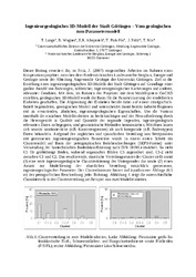
Ingenieurgeologisches 3D-Modell der Stadt Göttingen - Vom geologischen zum Parametermodell
Khojasteh, Enayat R.; Lange, Torsten;  ; Ptak-Fix, Thomas; Fritz, Joachim; Nix, Thomas (2008)
; Ptak-Fix, Thomas; Fritz, Joachim; Nix, Thomas (2008)
Dieser Beitrag erweitert die, in Fritz, J. (2007) vorgestellten Arbeiten im Rahmen eines Kooperationsprojektes zwischen dem Niedersächsischen Landesamt für Bergbau, Energie und Geologie sowie der Abteilung Angewandte ...
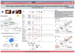
Close-range sensing workflows in Structural Geology based on open-source/open access solutions
; (2018-08-24)
In Structural Geology, many projects start with intensive field-based data acquisition campaigns, which might be performed in quite different types of natural or artificial outcrops. For some years, this field work has ...
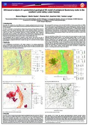
GIS-based analysis of a geotechnical-geological 3D model of periglacial Quaternary rocks in the southern Leine valley, Lower Saxony
; Sauter, Martin; Nix, Thomas; Fritz, Joachim; Lange, Torsten (2014)
Geometric 3D models are a very efficient tool to visualize geological units and structural features that have been presented before just in two dimensions on maps or cross-sections.
Most of the information of 3D models ...
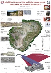
Suitability of terrestrial Lidar and digital photogrammetry for surveying and analysis of fold structures
; (
Quantitative fold structure analyses at different scales are essential for deducing deformation mechanisms and the reconstruction of the deformation history of orogens. However, not only the field surveying of fold structures, ...
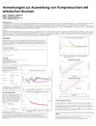
Anmerkungen zur Auswertung von Pumpversuchen mit artesischen Brunnen
(2010)
Die Auswertung von Pumpversuchen mit konstantem Wasserspiegel, insbesondere Auslaufversuche an artesischen Brunnen, ist kein Standardverfahren in der Hydrogeologie. Da in Europa in Folge zurück gehender Grundwassernutzung ...
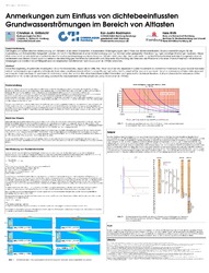
Anmerkungen zum Einfluss von dichtebeeinflussten Grundwasserströmungen im Bereich von Altlasten
(2008)
Seit Beginn der systematischen Untersuchung von Altlasten ist an vielen Standorten, insbesondere Altablagerungen, der Einfluss von dichtebeeinflussten Grundwasserströmungen für die Ausbreitung von Schadstoffen festgestellt ...
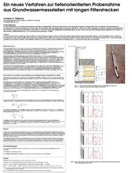
Ein neues Verfahren zur tiefenorientierten Probenahme aus Grundwassermessstellen mit langen Filterstrecken
(2004)
In vielen Messnetzen zur Grundwasserbeobachtung finden sich Messstellen mit langen Filterstrecken, bei denen die Entnahme repräsentativer tiefenorientierter Grundwasserproben problematisch ist. Hiermit wird eine neue ...
